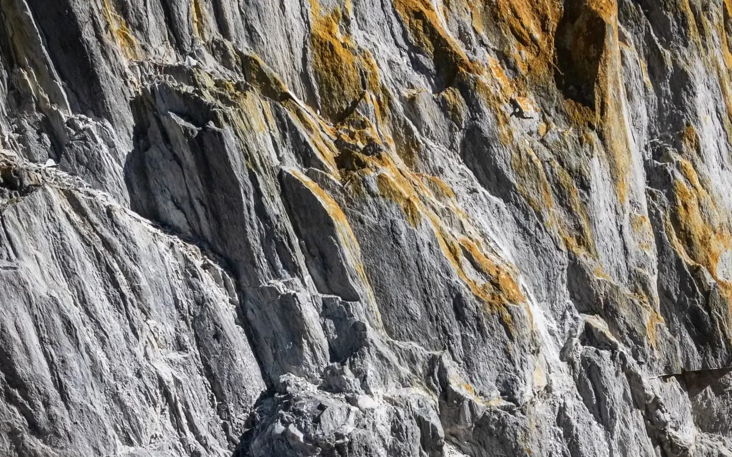
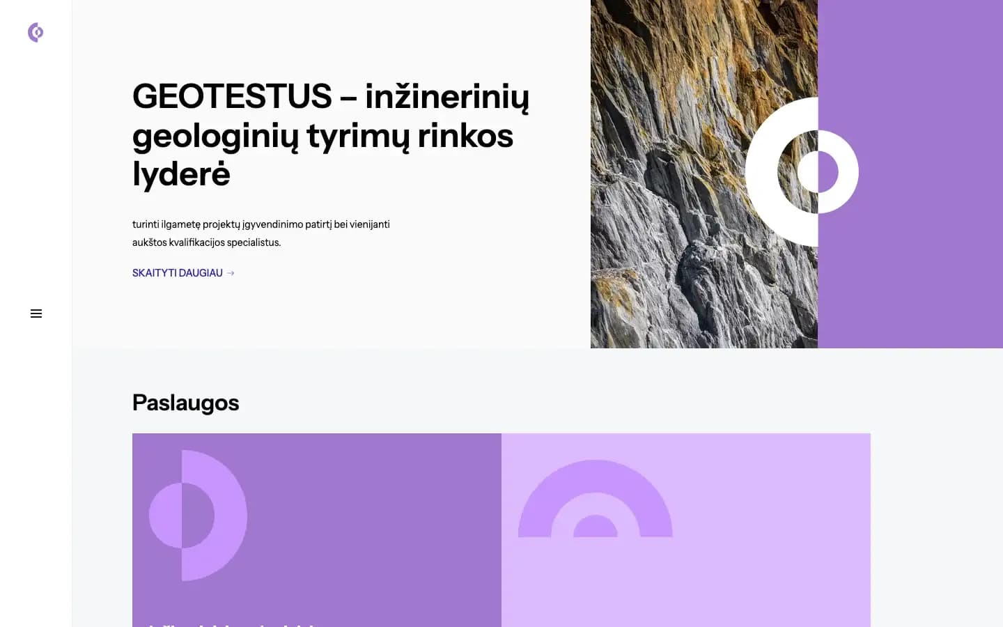
The palette is one colour and its tints. Purple carries the mark, the service cards, the project captions and the footer, which keeps a technical site legible and clear of corporate grey. Navigation collapses into a single control at the left edge, so the content keeps the space.
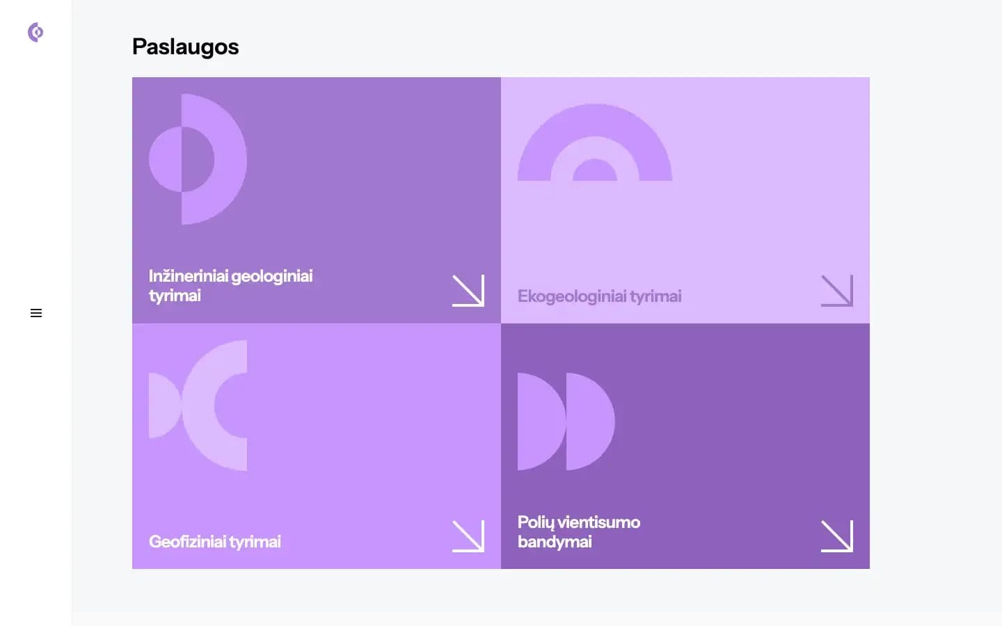
Services split four ways: engineering geological investigations, ecogeological studies, geophysics, and pile integrity testing. Each card carries a geometric icon and type set at high contrast, so an engineer can see what the firm does at a glance.
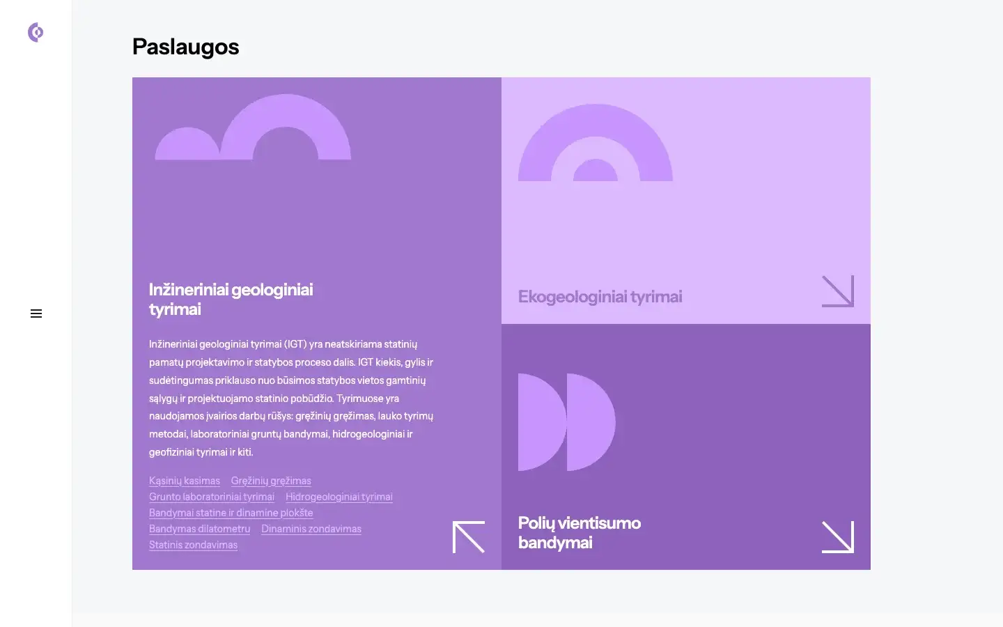
Each card opens in place and lists the actual field and laboratory methods, well before the visitor reaches a contact form: borehole drilling, dynamic probing, dilatometer testing, plate load tests, and soil mechanics.
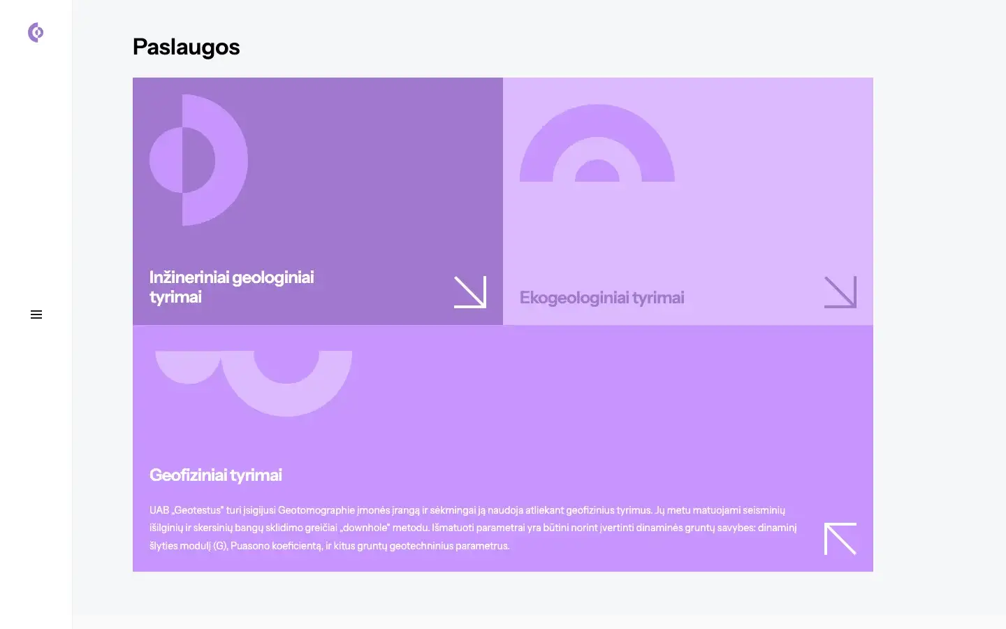
The geophysics section names the equipment and the method: dedicated Geotomographie kit, downhole seismic wave velocity measurement. It also gives the dynamic shear modulus (G) and Poisson's ratio, which are the numbers a structural designer needs for foundation calculations.
The slide-out navigation reaches the accreditations, the service lines and the project archive without the reader losing their place on the page.
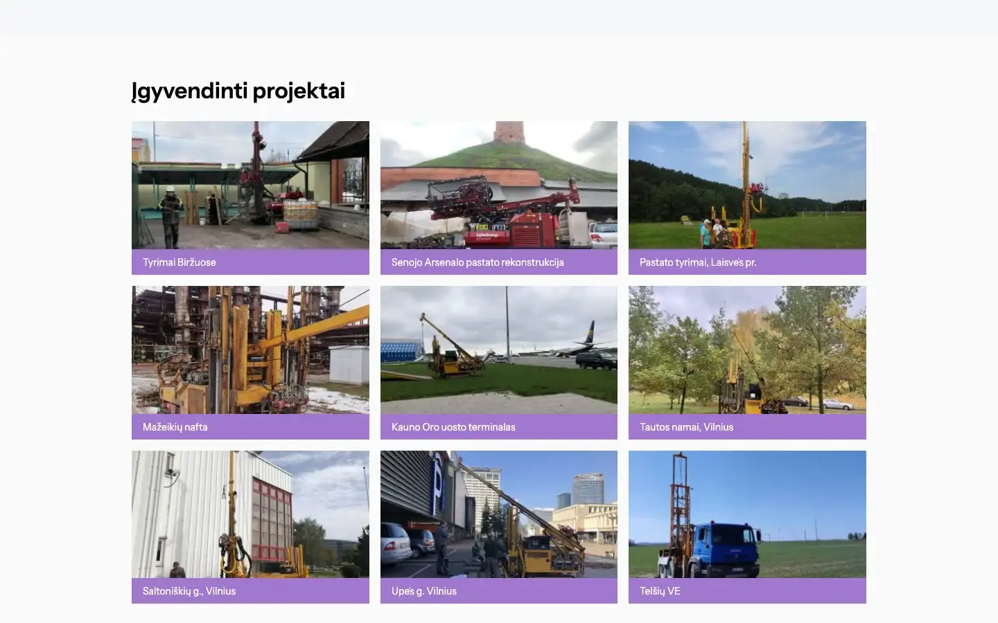
Proof in this industry is location-specific. Completed projects are shown with photographs of the actual rigs on major industrial sites, and the mobile numbers of the director and the senior engineering geologists sit next to them.
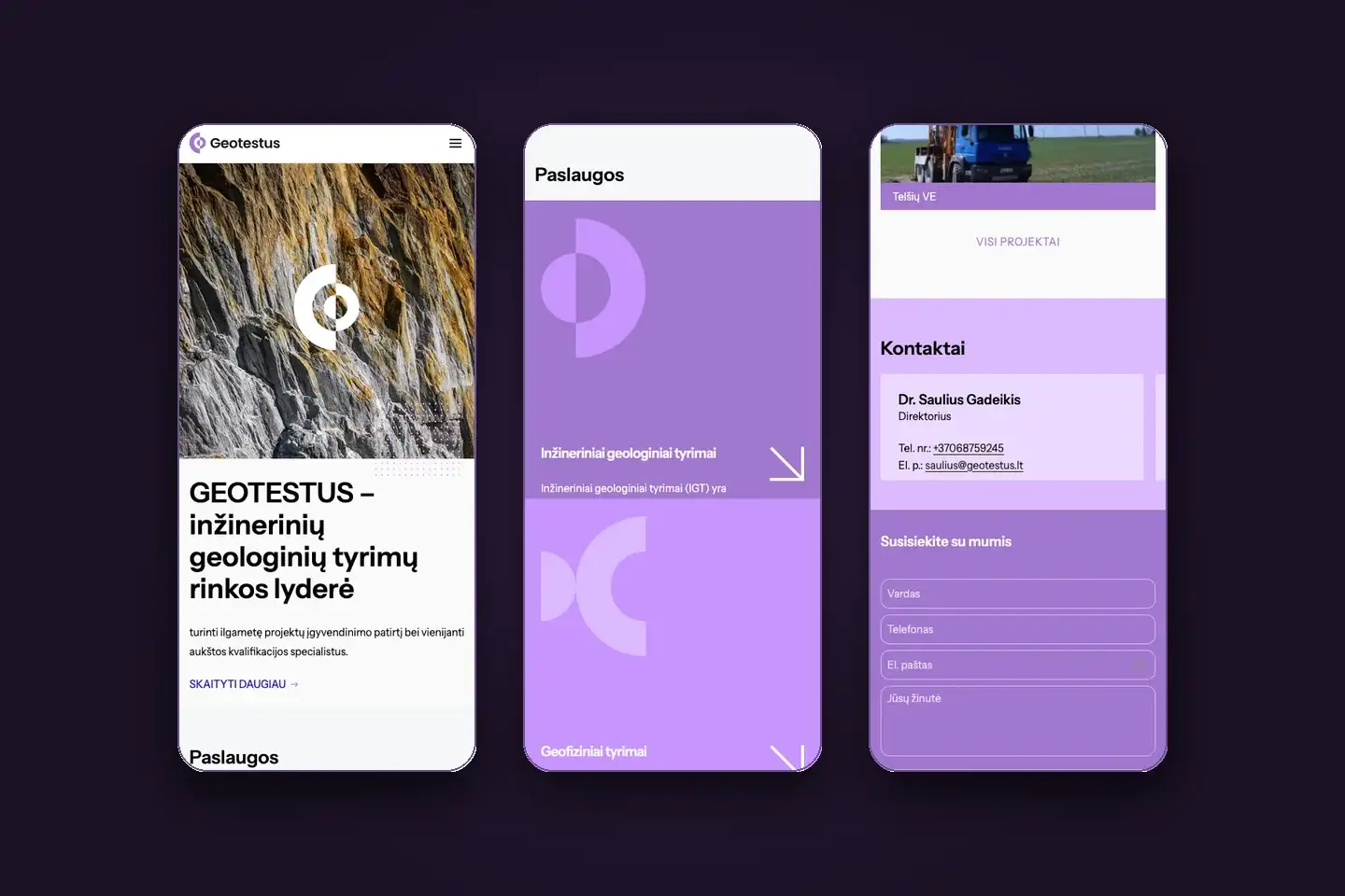
On a phone the four service cards stack into one column of full-width tap targets. The method lists still open in place and the contact lines are one tap, which is how a contractor on an active site will use them.